Project Description
The aim “Smart Transport” research area is to introduce new concepts of innovation in the transport field, based on the use of ICTs and data management for improving mobility and transport, infrastructures and services supply optimization, user behaviour change. Given the location of the Apulia Region, where CPS Lab is lactated, the main research focuses on multimodal and cross-border transports and services.
- Intelligent transport systems
- Routing modeling & optimization
- IT solutions and AI for antifraud customs controls
- Technologies supporting freight & passenger traffic
- Research and development on ICT solutions supporting sustainable transport systems;
- ICT platforms for Intelligent Transport Systems;
- ICT platforms for transport resources and infrastructures management.
Trip Planner platform
The Trip Planner is an ICT platform that helps travellers to plan their cross-border trip through public transport, from an initial position to final destination, at the time they desires, choosing the means of transport that they would like to use. The platform is able to manage real-time transport data and contains tools for supporting user in General Transit Feed Specification (GTFS) creation.
Developed within the framework of the GIFT2.0 project.
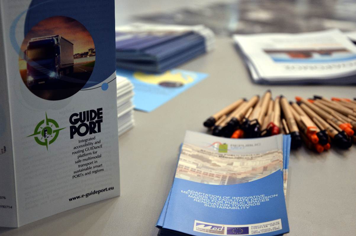
Guideport platform
Unified ICT Platform that allows access to interactive services related to:
- Best route guidance for port access & congestion avoidance;
- Safe & secure port system;
- High-accuracy vehicle location / port logistic;
- Port/near port incident detection & database.
Developed within the framework of the Guideport project – Integrated accessibility and routing guidance platform for safe multimodal transport in sustainable smart ports and regions.
- Open Trip Planner;
- OpenStreetMaps;
- Traccar;
- Leaflet JS;
- GTFS, GTFS RT, JSON for transport data exchange.
For more information please contact: Claudio Pascarelli (claudio.pascarelli@unisalenti.it)
Related Projects